
Sidebar

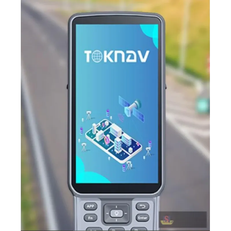

TSurvey Field software
The TSurvey software is an engineering surveying application software developed by TOKNAV based on GNSS high-precision position application. The developers have accumulated years of surveying and mark
Categories
Quote
Account
Search
Recent View
Go to Top
All Categories
×
-
Measuring Tools
- Air Quality & Particle Meters
- Air Velocity & Manometers
- Calipers & Micrometers
- Distance Meters & Wheels
- Fiberoptic Scopes & Boroscopes
- Force, Torque & Vibration Meters
- Gas, Leak & Radiation Detectors
- Hardness, Thickness & Gloss Meters
- Home Inspection Kits
- Insulation, Resistance & Capacitance Testers
- Light, Sound, Moisture & Environmental Meters
- Multimeters, Clamp Meters & Electrical Testers
- Ph, Conductivity & Tds Meters
- Refractometers & Heat Stress Meters
- Tachometers & Stroboscopes
- Tape Measures
- Test Meter Calibration Kits
- Thermal Imagers & Infrared Thermometers
- Thermo-hygrometers & Psychrometers
- Thermocouples & Digital Thermometers
- Weighing Scales
- Measuring Tools Accessories
-
Survey Accessories
- Batteries & Chargers
- Bipods & Tripods
- Compass
- Drafting Supplies
- Education
- Field Cases
- Gnss Accessories
- Instrument Tripods
- Lasers & Leveling Rods
- Power, Antennae & Data Cables
- Prism Pole & Rod Accessories
- Prism Poles
- Prisms & Assemblies
- Rover Rods
- Safety Clothes & Field Supplies
- Survey Accessories
- Tribrach & Adapters
- Vials & Levels
- Walkie Talkie Radios
-
Survey Equipment
- 3d Handheld Laser Scanners
- Airborne LiDAR Systems
- Airborne Lidar Systems
- Car Navigation Systems
- Cors
- Digital Levels
- Field Controllers & Tablets
- Gnss Antennae
- Gnss External Datalinks
- Gnss Handhelds
- Gps Handhelds
- Gps Tracker
- Ground Penetrating Radar
- Integrated Gnss Receivers
- Laser Levels
- Optical Levels
- Structural Monitoring Systems
- Surveying & Mapping Software
- Theodolite
- Total Stations
- Unmanned Aerial Vehicles UAVs
- Unmanned Aerial Vehicles Uavs
- Unmanned Surface Vessels USVs
- Unmanned Surface Vessels Usvs
Quote Request
×
Your quote request is empty!
Search
×
Recent View Products
×
Has no content to show !
Product Description
The TSurvey software is an engineering surveying application software developed by TOKNAV based on GNSS high-precision position application. The developers have accumulated years of surveying and marketing experience, combined with the usage habits of a large number of industry users and the integration of Android operating habits, developed high-precision position survey collection, point stakeout, line stakeout, road design and stakeout, CAD mapping and stakeout, and simple operation. The software has the characteristics of simple and user-friendly operation process, powerful road design and construction stakeout functions, powerful CAD mapping functions, and convenient display of function menus for users to customize designs.
- Multi-language: Support more than 30 commonly used languages in the world, such as English, Russian, Spain, Portugal, Italy, Japan, South Korea, German, Roman, Arabic, etc., to meet the needs of users in various regions.
- Multifunctional: Integrate the functions of point measurement, point stakeout, line stakeout, road design stakeout and CAD drawing stakeout.
- Friendly interface: Simple and convenient parameter configuration, beautiful interface, convenient operation, support for multiple data format compatibility and report output, more professional, concise and efficient measurement experience.