
Search
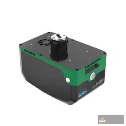
Sinognss Lidar H600 Airborne Lidar System
The SinoGNSS H600 is an airborne LiDAR system mounted on a drone or aircraft, used to capture dense, accurate 3D point-cloud data of terrain and struc..
Showing 1 to 1 of 1 (1 Pages)
The SinoGNSS H600 is an airborne LiDAR system mounted on a drone or aircraft, used to capture dense, accurate 3D point-cloud data of terrain and struc..
Hello. How can we help you today?
Start WhatsApp Chat