
Search
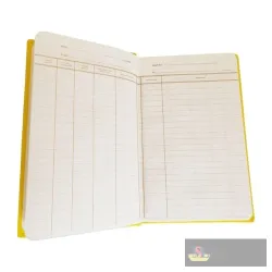
Collimation Method Survey Book
The CMS is a hardcover field level book ruled for the Height of Collimation booking method, with columns for back sight, intermediate sight, fore sigh..
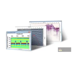
Ekko_project Examine Gpr Software
EKKO_Project Examine is the line-scan analysis tier of Sensors & Software's GPR post-processing suite, built for reviewing individual GPR profiles col..
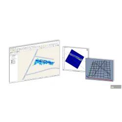
Ekko_project Reveal Gpr Software
EKKO_Project Reveal builds on Examine by adding depth-slice generation and MapView visualization, turning a grid of GPR lines into a plan-view map of ..
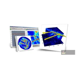
Ekko_project Suite Gpr Software
EKKO_Project Suite is the top processing tier, adding advanced filtering, batch/recipe-based processing of many lines at once, and full 3D volume rend..

EL05 Digital Level, 0.5mm accuracy in 1km double run
The EL05 is the same compact electronic digital level body, offering 0.5mm accuracy over a 1km double run.


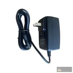
Foif Ch-04 Charging Dock
A charging dock/cradle that a FOIF instrument battery slots into for recharging from an AC adapter.


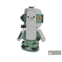
Foif Fdq7-02 Charging Dock
The FOIF FDQ7-02 is a professional-grade, high-capacity charging cradle designed for the rigorous demands of modern land surveying. Specifically engin..


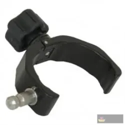
Foif Quick Release Cradles
The FOIF Quick Release Cradle (often used with the Claw™ or SureGrip™ series) is a rugged, professional-grade mounting solution designed to secure dat..


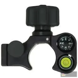
Foif Quick Release Pole Bracket with Vial & Compass
This FOIF Quick Release Pole Bracket is a rugged, high-precision mounting solution designed for professional land surveyors and GIS specialists. Engin..
Goslam Gs-cb5 Car Mount Kit Excl Gnss
GoSLAM's basic vehicle mounting kit secures a scanner to a car roof or rack for mobile mapping while driving, with the GNSS antenna sold separately.
Goslam Gs-us400 Drone Mount Kit for Dji M350
GoSLAM's UAV mounting kit attaches a compatible scanner underneath a drone airframe such as the DJI M350 for aerial LiDAR mapping.
Goslam M40 Rtk Mobile 3d Laser Scanner
This is the M40 body fitted with an integrated RTK positioning module, adding survey-grade absolute georeferencing to the same 70m-range handheld LiDA..