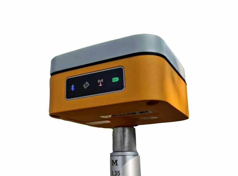
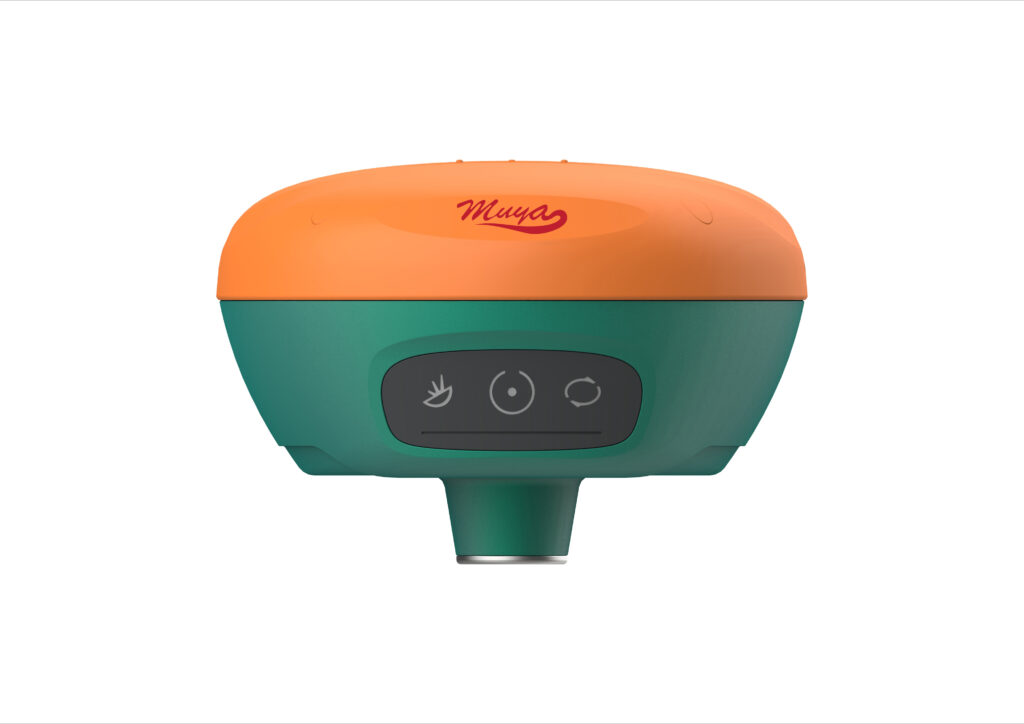
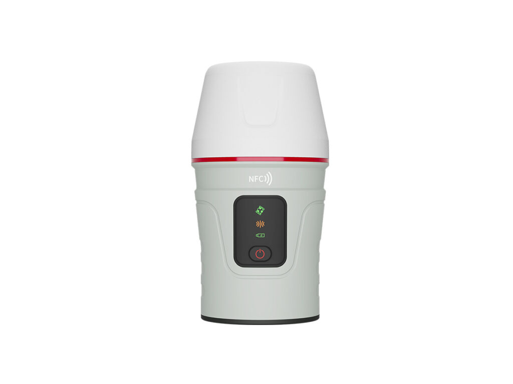
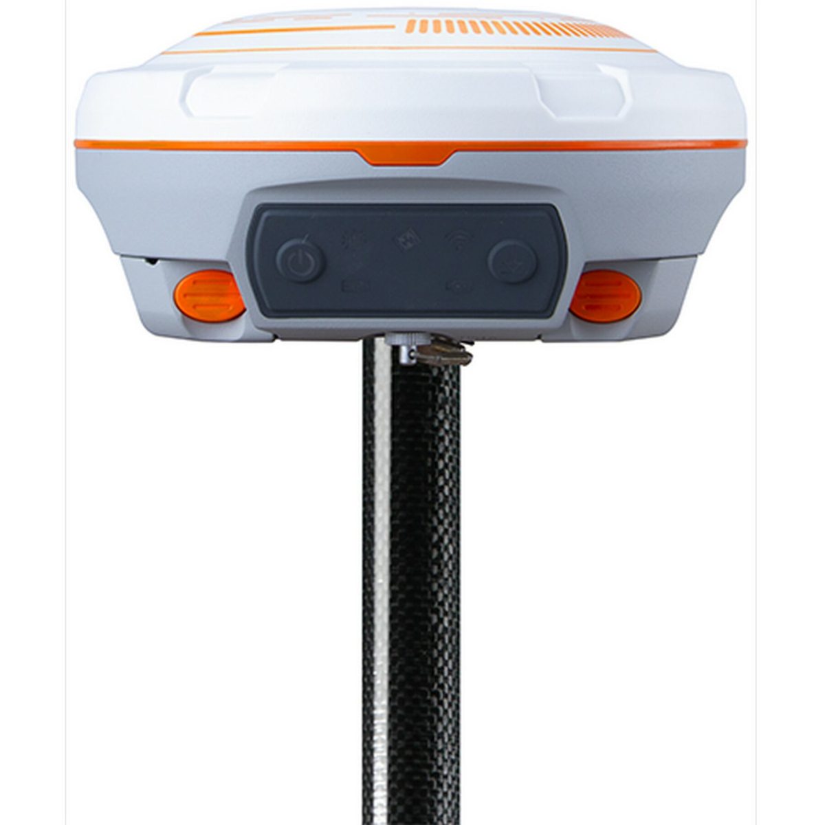
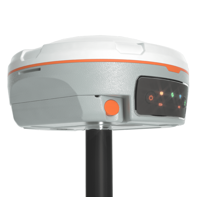
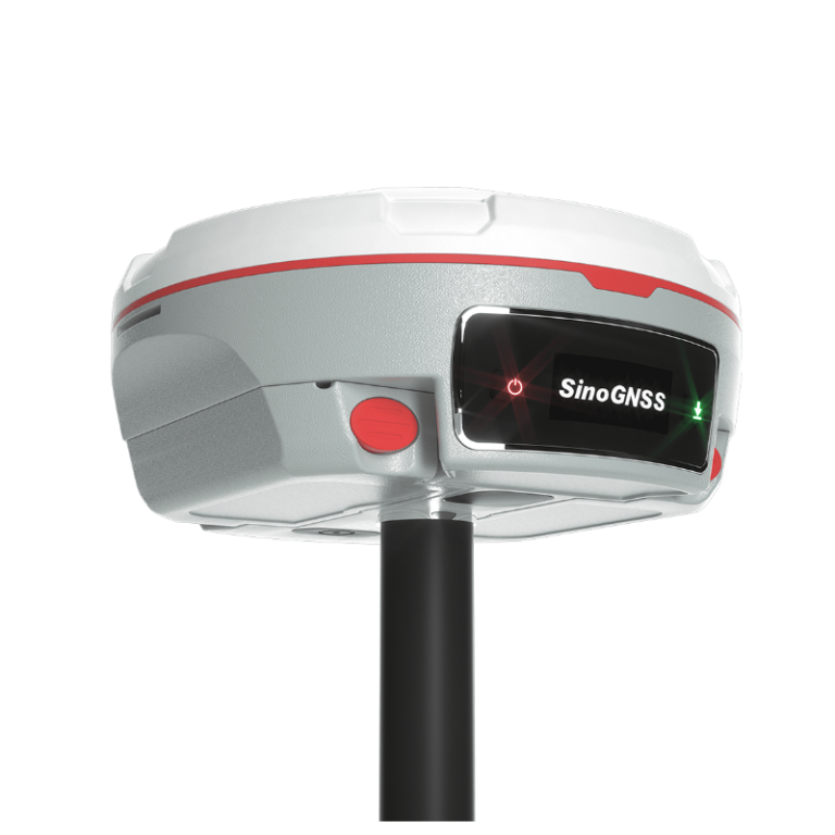
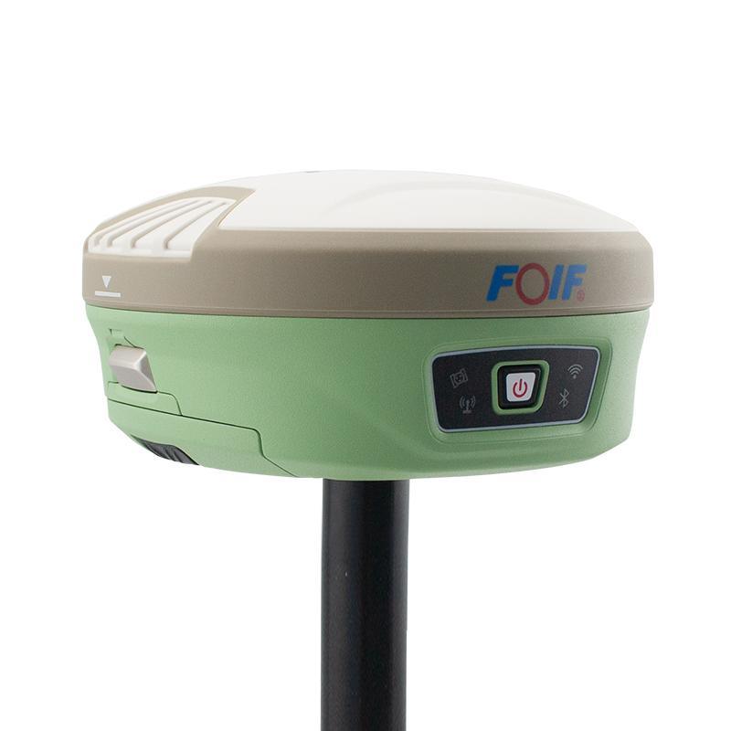
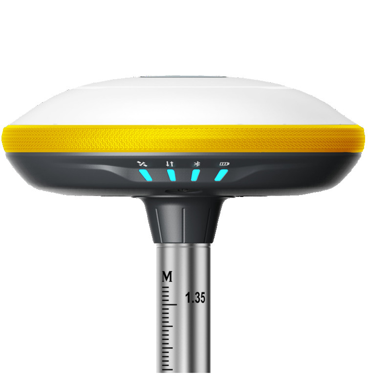
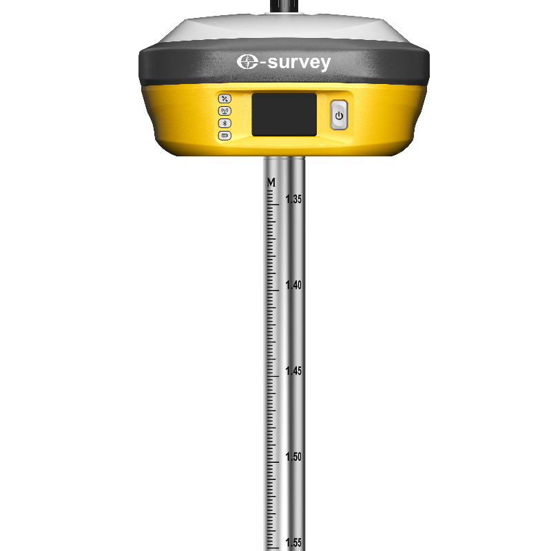
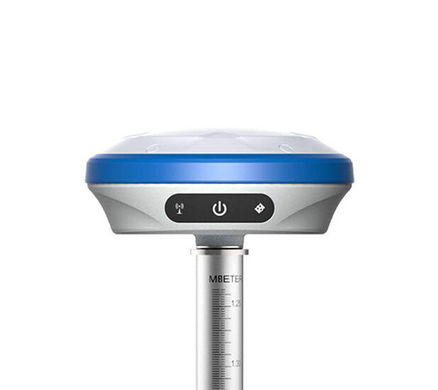
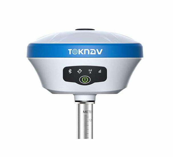
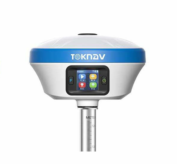
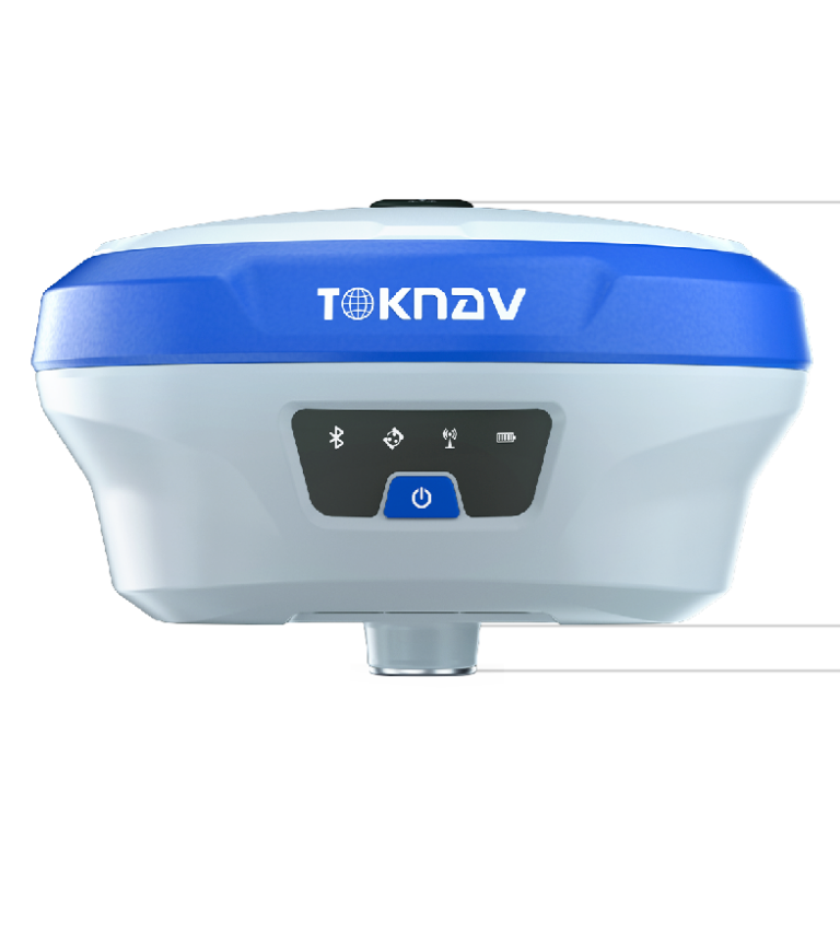
- 1408 channels tracking ALL available satellites
- GPS+GLONASS+GALILEO+ BEIDOU
- Full 90° Tilt compensation Technology
- Static and RTK surveys with less than a cm accuracy
- Compatible with any CORS
- Supports CMR CMR+ RTCM 2.x RTCM 3.x data formats
- RS232/Bluetooth/4G/WIFI/NTRIP/WebUI
- 32GB internal memory
- Data logger with SurPad field software with Android operating systems
- Support other Android field software including Field Genius, Carlson Ce
- Built-in battery 9750mAh 7.4V ≥15hrs continuous operation
- Compact durable magnesium alloy casing
- Withstand 1.5m pole drop onto the cement ground
- Dust & weather resistant-IP65
- Light weight and pocket size
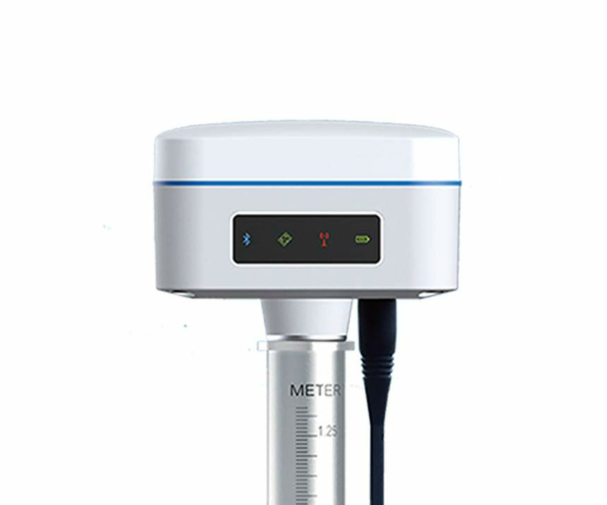
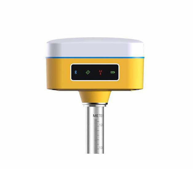
- 1408 channels Multi-band IMU-RTK GNSS receiver
- Multi-constellation and multi-frequency, all available satellite signals tracked including GPS(USA), GLONASS (Russia), GALILEO(Europe), BEIDOU(China), IRNSS(India), QZSS(Japan)
- Tilt compensation technology
- Static, RTK , Compatible with any CORS
- Static horizontal/vertical accuracy: 2.5mm/5mm + 0.5ppm
- RTK horizontal/vertical accuracy: 8mm/15mm + 1ppm
- RTCM 2.x, RTCM 3.x RTK formats supported
- 8GB internal memory
- Dust & weather resistant, IP68
- Data collector with Android Muya software
- Light weight;830gms with battery
- Small in size;132mm diameter and 67mm height
- 1590 channels for all running satellites constellations
- Tracking all running and planned constellations, including GPS, BDS-2, BDS-3, GLONASS, Galileo, QZSS, IRNSS and SBAS
- GNSS receiver that integrates laser and IMU technologies up to 60° tilt with 2.5 cm accuracy, compatible with any CORS
- Static horizontal/vertical accuracy: 2.5mm +/5mm + 0.5ppm
- RTK horizontal/vertical accuracy: 8mm/15mm + 1ppm
- Laser Tilt Measurement ≤5.5cm (2m range,≤60°Tilt in handheld mode)
- Rugged magnesium-aluminum alloy housing to survive 2m drop on concrete
- Dust & weather resistant, IP67
- Data collector R60 with Android Survey Master Field Software
- Support other data collection software; FieldGenius, Carlson SurvCe
- Light weight; 380g
- 20+ hrs non-stop use with QC2.0, get full charged in 4 hrs
- 1198 Channels SinoGNSS Quantum Engine Board
- Satellite signals tracked: GPS(USA), GLONASS(Russia), GALILEO (Europe), BEIDOU(China), IRNSS(India), QZSS(Japan)
- Triple Frequency
- IMU & Tilt compensation technology
- Static, RTK, Supports long Baseline E-RTK , Compatible with any CORS
- Base/Rover Internet communication, No baseline limitation
- Static horizontal/vertical accuracy: 2.5mm +/5mm + 0.5ppm
- RTK horizontal/vertical accuracy: 8mm/15mm + 1ppm
- RTK formats CMR, CMR+, RTCM 2.x, RTCM 3.x
- RS232, Bluetooth, USB, GSM, GPRS, EDGE ,WebUI
- Internal/External UHF Radio, 15km baseline with internal radio
- Voice messages, Automatic Firmware updating
- 8GB internal & up to 32 GB pluggable memory
- Swappable internal batteries 2x3400mAh up to 25hrs typically
- Rugged magnesium-aluminum alloy housing to survive 2m drop on concrete
- Dust & weather resistant, IP67
- Data collector R550 with Android Survey Master Field Software
- Support other data collection software; FieldGenius, Carlson SurvCe
- Light weight; 950gms with two batteries
- Small in size; 158mm diameter and 75mm height
- 1590 channels for all running satellites constellations
- Tracking all running and planned constellations, including GPS, BDS-2, BDS-3, GLONASS, Galileo, QZSS, IRNSS and SBAS
- IMU & Tilt compensation technology Up to 60°tilt with 2.5 cm accuracy
- Static horizontal/vertical accuracy: 2.5mm +/5mm + 0.5ppm
- RTK horizontal/vertical accuracy: 8mm/15mm + 1ppm
- 8GB internal & up to 32 GB pluggable memory
- Rugged magnesium-aluminum alloy housing to survive 2m drop on concrete
- Dust & weather resistant, IP67
- Data collector R60 with Android Survey Master Field Software
- Support other data collection software; FieldGenius, Carlson SurvCe
- Light weight; 670g including battery
- 20+ hrs non-stop use with QC2.0, get full charged in 5 hrs
- Internal/External UHF Radio, 15km baseline with internal radio
- 1590 channels and 60+ satellites tracking capabilities
- Tracking all running and planned constellations, including GPS, BDS-2, BDS-3, GLONASS, Galileo, QZSS, IRNSS and SBAS
- IMU & Tilt compensation technology Up to 60°tilt with 2.5 cm accuracy
- Static, RTK, Supports long Baseline E-RTK , Compatible with any CORS
- Laser Tilt Measurement ≤5.5cm (5m range,≤60°Tilt in laser mode)
- Static horizontal/vertical accuracy: 2.5mm +/5mm + 0.5ppm
- RTK horizontal/vertical accuracy: 8mm/15mm + 1ppm
- 8GB internal memory
- Swappable internal batteries 2x3400mAh up to 25hrs typically
- Rugged magnesium-aluminum alloy housing to survive 2m drop on concrete
- Dust & weather resistant, IP67
- Data collector R60 with Android Survey Master Field Software
- Support other data collection software; FieldGenius, Carlson SurvCe
- Internal/External UHF Radio, 15km baseline with internal radio
- Small in size; 155mm diameter and 73mm height
- 1668 channels and 60+ satellites tracking capabilities
- Tracking all running and planned constellations, including GPS, BDS-2, BDS-3, GLONASS, Galileo, QZSS, IRNSS and SBAS
- IMU & Tilt compensation technology Up to 60°tilt with 2.5 cm accuracy
- Static, RTK, Supports long Baseline E-RTK , Compatible with any CORS
- Laser Tilt Measurement ≤5.5cm (5m range,≤60°Tilt in laser mode)
- Static horizontal/vertical accuracy: 2.5mm +/5mm + 0.5ppm
- RTK horizontal/vertical accuracy: 8mm/15mm + 1ppm
- 8GB internal memory
- Swappable internal batteries 2x3400mAh up to 20hrs typically
- Rugged magnesium-aluminum alloy housing to survive 2m drop on concrete
- Dust & weather resistant, IP67
- Data collector R60 with Android Survey Master Field Software
- Support other data collection software; FieldGenius, Carlson SurvCe
- Internal/External UHF Radio, 3-5km baseline with internal radio
- Small in size; 155mm diameter and 73mm height
- 555 channels Novatel Engine Board
- GPS, GLONASS, GALILEO, BEIDOU satellite signals tracked
- Triple frequency
- Tilt compensation technology
- Static, RTK , Compatible with any CORS
- Base/Rover internet communication, no baseline limitation!
- Static horizontal/vertical accuracy: 2.5mm/5mm + 0.5ppm
- RTK horizontal/vertical accuracy: 8mm/15mm + 1ppm
- CMR, CMR+, RTCM 2.x, RTCM 3.x RTK formats supported
- RS232/Bluetooth/USB/GSM/GPRS/EDGE/NTRIP/WebUI
- Voice messages, Automatic Firmware updating
- 8GB internal memory and up to 32 GB pluggable
- Compact durable aluminum alloy casing
- Dust & weather resistant, IP67
- Data collector with Android Survey Master field software
- Supports other data collection software; Field Genius
- Carlson SurvCe
- Light weight;1100gms with battery
- Small in size;156mm diameter and 76mm height
- 800 Channels Hemisphere Phantom™ 40 GNSS Engine Board(Canada)
- Multi-constellation and multi-frequency, all available satellite signals tracked including GPS(USA), GLONASS (Russia), GALILEO(Europe), BEIDOU(China), IRNSS(India), QZSS(Japan)
- IMU/Tilt Survey compensation technology
- Static, RTK Supports long Baseline E-RTK
- Static horizontal/vertical accuracy: ±2/3mm+0.1/0.4ppm
- RTK horizontal/vertical accuracy: ±8/15mm+1ppm
- RTK formats CMR, CMR+, RTCM 2.x, RTCM 3.x
- 1-watt internal UHF Radio extending up to 5km supported protocols includes Satel, Trim Talk, South, Hi-Target
- Rechargeable built-in Li-ion 6800 mAh, 12hrs continuously field operation, USB type-C quick charger supporting vehicle charging
- Comes with data collector with Android SurvPad Field Software
- Support other data collection Android/Windows software
- Compatible with any CORS
- 800 Channels Hemisphere Phantom™ 40 GNSS Engine Board (Canada)
- Multi-constellation and multi-frequency, all available satellite signals tracked including GPS(USA), GLONASS(Russia), GALILEO(Europe), BEIDOU(China), IRNSS(India), QZSS(Japan)
- IMU/Tilt Survey compensation technology
- Static, RTK Supports long Baseline E-RTK
- Static horizontal/vertical accuracy: ±2/3mm+0.1/0.4ppm
- RTK horizontal/vertical accuracy: ±8/15mm+1ppm
- RTK formats CMR, CMR+, RTCM 2.x, RTCM 3.x
- 5-watt internal UHF Radio extending up to 15km supported protocols includes Satel, Trim Talk, South, Hi-Target
- Rechargeable built-in Li-ion 13600 mAh, 15hrs continuously field operation, USB type-C quick charger supporting vehicle charging
- Comes with data collector with Android SurvPad Field Software
- Support other data collection Android/Windows software
- Compatible with any CORS
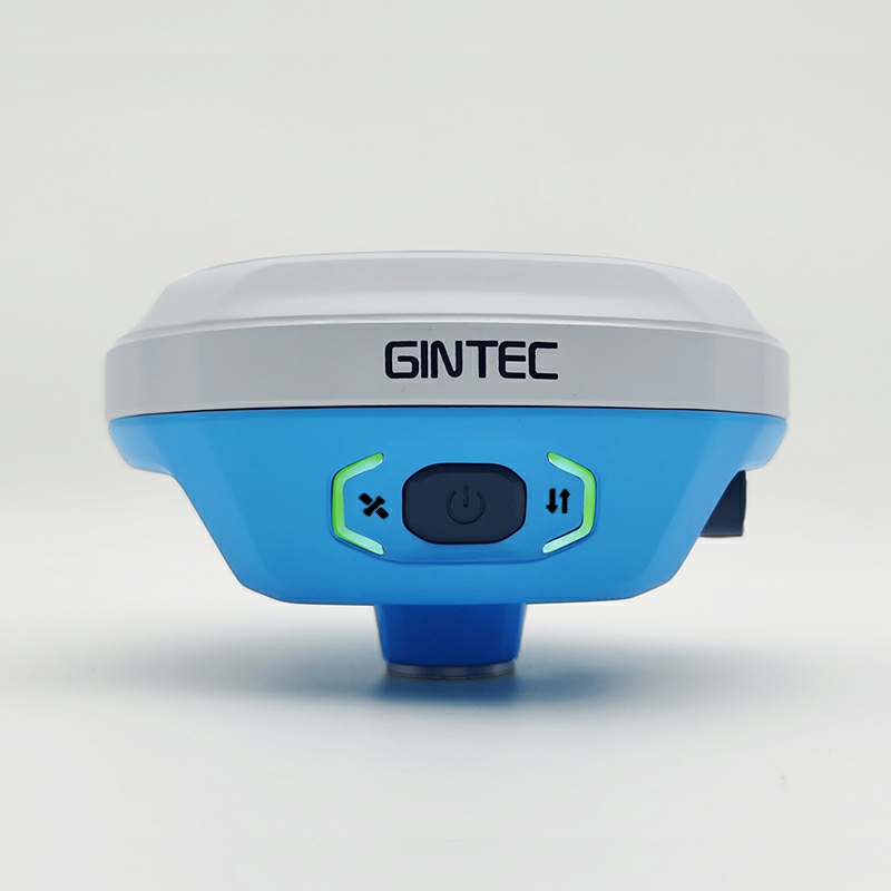
- 1408 Channels
- Multi-constellation and multi-frequency, all available satellite signals tracked including GPS(USA), GLONASS(Russia), GALILEO(Europe), BEIDOU(China), IRNSS(India), QZSS(Japan)
- IMU/Tilt Survey compensation technology
- Static, RTK Supports long Baseline E-RTK
- Static horizontal/vertical accuracy: ±2.5/5mm+0.5/0.5ppm
- RTK horizontal/vertical accuracy: ±8/15mm+1ppm
- 1 watt internal UHF Radio supported protocols includes TrimTalk450s(T), TrimMark III, South, GeoTalk, GeoMark, Satel, G-link and Gintec Works
- Rechargeable built-in Li-ion 6800 mAh, USB type-C quick charger supporting vehicle charging
- Comes with data collector with Android Surpad Field Software
- Augmented Reality(AR) Visual Stakeout
- Compatible with any CORS
- 1408 Channels with Linux intelligent system
- Multi-constellation and multi-frequency, all available satellite signals tracked including GPS(USA), GLONASS(Russia), GALILEO(Europe), BEIDOU(China), IRNSS(India), QZSS(Japan)
- IMU/Tilt Survey compensation technology
- Static horizontal/vertical accuracy: ±2.5/5mm+0.5/0.5ppm
- RTK horizontal/vertical accuracy: ±10/15mm+1ppm
- RTK formats RTCM 2.x, RTCM 3.x
- Supported protocols includes TrimTalk, Trimmk3, South, Transeot
- Rechargeable built-in Li-ion 9600 mAh, USB type-C quick charger supporting vehicle charging
- Comes with data collector with Android TSurvey Field Software
- Compatible with any CORS
- 1408 Channels with Linux intelligent system
- Multi-constellation and multi-frequency, all available satellite signals tracked including GPS(USA), GLONASS(Russia), GALILEO(Europe), BEIDOU(China), IRNSS(India), QZSS(Japan), SBAS
- IMU/Tilt Survey compensation technology
- Static horizontal/vertical accuracy: ±2.5/5mm+0.5/0.5ppm
- RTK horizontal/vertical accuracy: ±8/15mm+1ppm
- RTK formats RTCM 2.x, RTCM 3.x
- Rechargeable built-in Li-ion 9600 mAh, USB type-C quick charger supporting vehicle charging
- Comes with data collector with Android TSurvey Field Software
- Compatible with any CORS
- 1408 Channels with Linux intelligent system
- Multi-constellation and multi-frequency, all available satellite signals tracked including GPS(USA), GLONASS(Russia), GALILEO(Europe), BEIDOU(China), IRNSS(India), QZSS(Japan)
- IMU/Tilt Survey compensation technology
- Static, RTK Supports long Baseline E-RTK
- Static horizontal/vertical accuracy: ±2.5/5mm+0.5/0.5ppm
- RTK horizontal/vertical accuracy: ±8/15mm+1ppm
- RTK formats RTCM 2.x, RTCM 3.x
- 0.5/1.5 watt internal UHF Radio supported protocols includes TrimTalk, Trimmk3, South, Transeot
- Rechargeable built-in Li-ion 9600 mAh, USB type-C quick charger supporting vehicle charging
- Comes with data collector with Android TSurvey Field Software
- Compatible with any CORS
- 1408 Channels with Linux intelligent system
- Multi-constellation and multi-frequency, all available satellite signals tracked including GPS(USA), GLONASS(Russia), GALILEO(Europe), BEIDOU(China), IRNSS(India), QZSS(Japan), SBAS
- IMU/Tilt Survey compensation technology
- Static, RTK Supports long Baseline E-RTK
- Static horizontal/vertical accuracy: ±2.5/5mm+0.5/0.5ppm
- RTK horizontal/vertical accuracy: ±8/15mm+1ppm
- RTK formats RTCM 2.x, RTCM 3.x
- 1/5 watt internal UHF Radio supported protocols includes TrimTalk, Trimmk3, South, Transeot
- Rechargeable built-in Li-ion 6500 mAh, USB type-C quick charger supporting vehicle charging
- Comes with data collector with Android TSurvey Field Software
- Compatible with any CORS
- 1408 Channels with Linux intelligent system
- Multi-constellation and multi-frequency, all available satellite signals tracked including GPS(USA), GLONASS(Russia), GALILEO(Europe), BEIDOU(China), IRNSS(India), QZSS(Japan), SBAS
- IMU/Tilt Survey compensation technology
- Augmented Reality(AR) Visual Stakeout
- Laser Tilt Measurement within 5m: no more than 2.5cm
- Static, RTK Supports long Baseline E-RTK
- Static horizontal/vertical accuracy: ±2.5/5mm+1ppm
- RTK horizontal/vertical accuracy: ±8/15mm+1ppm
- RTK format RTCM 3.x
- 32GB internal memory
- Internal UHF Radio supported protocols includes TrimTalk, Trimmk3, South, Transeot
- Rechargeable built-in Li-ion 13800 mAh, USB type-C quick charger supporting vehicle charging
- Comes with data collector with Android TSurvey Field Software
- Compatible with any CORS


